Introduction
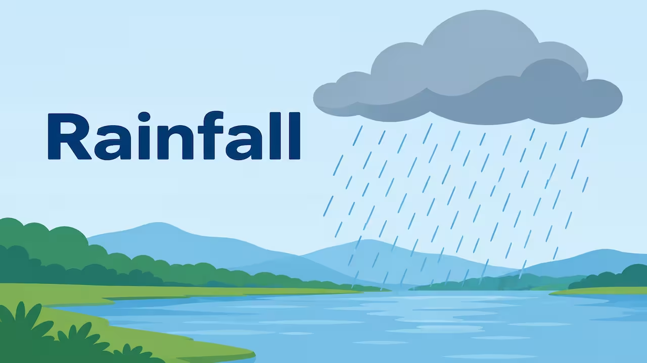
Rain looks simple from a window. Grey sky. Drops. Wet ground. The path those drops took is not simple. Water left a sea or a field as invisible vapour. It rose. It cooled. It became a cloud. Inside that cloud, tiny bits of water or ice grew heavy enough to fall and survive the dry air under the cloud. Only then do we call it rain.
I used to think a cloud was a bag that tipped over. It is not. A cloud is a crowd of droplets so small that air holds them up. Rain begins when some of that crowd gets fat enough to fall.
Three big ways lift the air and make rain in school geography: heating from below, a mountain in the way, and a front or cyclone. Those are convectional, orographic and cyclonic (frontal) rainfall. The physics inside the cloud is the same family. The lift is what changes.
If you can tell the story from ocean to rooftop, and then name which lift made the cloud, you have the chapter.
What rainfall is
Rainfall is liquid water falling from clouds. In weather language it sits under precipitation, which also includes snow, sleet, hail and drizzle.
We measure it as a depth, in millimetres. One millimetre on a flat roof means one litre on each square metre. A rain gauge is a can that does that measurement honestly.
Not every fall from a cloud is rain. Drizzle is fine drops, usually from low stratus. A shower is a burst, often from cumulus or cumulonimbus, starting and stopping. Steady rain often comes from a thick layer such as nimbostratus. Hail is ice from a strong thundercloud. Those are forms. The three “types of rainfall” in most exam books are about how the air was lifted, not about drop size.
The water cycle in the background
Sun heats water. Molecules escape as vapour — evaporation from seas, lakes, wet soil; transpiration from leaves. Together people say evapotranspiration.
That vapour is part of the air. Warm air can hold more vapour than cold air. The limit is described by saturation. Relative humidity is how full the air is, as a percentage of that limit.
When air cools, its capacity shrinks. At dew point it is full. Further cooling and the extra water must leave the vapour state. It condenses on tiny particles — salt from the sea, dust, pollen, smoke — called condensation nuclei. Those new droplets are a cloud.
Most cloud droplets are about a hundredth of a millimetre across. They drift. They are not rain yet.
How a cloud droplet becomes a raindrop
Two honest processes. Both are real. Which one rules depends on how cold the cloud is.
Warm-cloud growth (collision and coalescence)
In clouds warmer than freezing all through, drops are liquid. Bigger drops fall a little faster than tiny ones. They sweep up neighbours and grow. In thick tropical clouds this can make rain without ice. Many monsoon showers over warm India use a lot of this.
Cold-cloud growth (Bergeron–Findeisen process)
In a mixed cloud, ice crystals and supercooled water drops exist together. Air that is just saturated for liquid water is actually supersaturated for ice. Vapour moves onto the ice. Crystals grow. Drops shrink. The crystals get heavy, fall, and may melt into rain on the way down. This is why mid-latitude layer rain is so often born as snow at height and arrives as rain at the ground.
A raindrop that hits your hand is huge next to a cloud droplet — about a millimetre, sometimes more. If it grows too large it splits. If the air below the cloud is dry, the drop can evaporate as virga and never wet the soil.
That last point matters in desert edges and in the rain shadow. Cloud is not a promise of ground rain.
Why air must rise
Cooling that makes thick rain clouds is usually adiabatic. Rising air expands in lower pressure and cools. Sinking air compresses and warms — and dries.
So the question “why did it rain here?” is often “why did the air go up here?”
Three classic lifts:
- The ground heated a parcel until it floated — convection.
- A slope forced the wind up — orographic lift.
- Air masses or a cyclone forced a wide slab up — frontal / cyclonic lift.
Convergence of winds, as along the ITCZ or a monsoon trough, is a fourth cousin: air meets and has to rise. In answers you can fold that into equatorial convection or monsoon rain.
Type 1: Convectional rainfall
What happens
Sun beats on land (or a warm sea). The surface warms the air touching it. That air becomes lighter and rises in bubbles. At a certain height it cools to dew point. A cumulus flat base appears. If the air above is unstable, the heap grows into cumulonimbus. Heavy drops form quickly. Lightning is common.
What it feels like
A sharp shower, often in the afternoon on hot land. Can be fierce. Can end in an hour. Hail possible in strong cells. Not a grey all-day soaker.
Where
Equatorial lands through the year — Amazon, Congo, Indonesia — because heating and moisture are constant. Continents in summer: Indian plains before and during monsoon breaks, tropical interiors. “4 o’clock storms” in some tropical towns are this idea.
Exam line
Convectional rain = local heating → rising bubbles → towering cloud → short heavy shower.
Memory
Kettle rain. The land boils. The sky answers with a slap.
Do not write that all Indian monsoon rain is only convectional. Monsoon is a seasonal wind system. Inside it you get convectional towers and layer rain.
Type 2: Orographic rainfall
What happens
Moist wind hits a mountain and is forced up the windward slope. It cools. Clouds grow. Rain (or snow at height) falls on that slope and the nearby hills.
Over the crest the air starts down the lee side. It warms by compression. Relative humidity falls. Clouds thin. The lee is drier — the rain shadow.
What it feels like
Can be steady when the wind is steady. Can be very heavy on steep, wet coasts. The same range can be dripping green on one face and brown on the other.
Where, with care
Western Ghats: south-west monsoon hits the west-facing slopes. Coastal Karnataka, Kerala, Konkan get heavy orographic rain. The Deccan interior, in the lee, is drier.
Himalaya: moist monsoon air is lifted. Windward foothills and some hill stations are wet. Tibetan side is a vast rain shadow in this simple picture.
Other world examples: west coasts facing westerlies onto mountains — southern Andes, New Zealand’s Southern Alps, parts of the Rockies and Cascades. Hawaii’s windward slopes versus dry leeward Kona.
Exam line
Orographic rain = moist wind + slope. Rain shadow = descending air on the lee.
Memory
Mountain is a ramp. Windward gets the wash. Leeward gets the dryer.
A warm downslope wind (foehn, chinook) is the same descent, felt as heat. That links the wind chapter to this one.
Type 3: Cyclonic or frontal rainfall
What happens
Two air masses of different temperature meet. The warmer, lighter air is lifted over the colder air along a front. Or a low-pressure system draws air in and up.
In a classic mid-latitude depression:
- Warm front: warm air climbs gently over cold air. Clouds thicken from cirrus to altostratus to nimbostratus. Rain is widespread and can last long.
- Cold front: cold air shoves under warm air. Lift is steeper. Bands of cumulonimbus. Shorter, harder bursts, then clearer cooler air.
Tropical cyclones are different in structure — no polar-type fronts, a warm core, an eye — but they also produce huge rainfall because air rises around the centre and in rainbands. For Indian east-coast answers, October–December storms in the Bay are this family of cyclonic rain.
What it feels like
Frontal rain in Europe or north India in winter can be a grey day, not a five-minute drama. Cyclone rain can drown a coast in a day.
Where
Westerly belt: Britain, much of Europe, north-west India in winter western disturbances (those are extra-tropical systems that give rain and snow to Pakistan, north India, western Himalaya).
Tropical cyclone belts: Bay of Bengal, Arabian Sea, Atlantic hurricanes, Pacific typhoons.
Exam line
Cyclonic / frontal rain = air lifted in a low or along a front → layered or banded rain over a wide area.
Memory
Front = two airs arguing. The warm one is pushed upstairs and weeps.
How the three mix in real India
Do not force one week of monsoon into only one box.
June arrival over Kerala is monsoon wind plus Ghats lift — orographic on the coast, convection embedded inland.
A Bay cyclone is cyclonic rainfall.
A Delhi May thunderstorm is convectional.
A January western disturbance over Punjab is cyclonic / frontal in type.
Good answers name the dominant lift, then admit neighbours.
Equatorial convection all year is why those latitudes can be wet without a “monsoon” label. Monsoon is the seasonal reversal that delivers a lot of India’s rain, using several lifts at once.
Relief, distance from sea, and other controls
These are not extra “types.” They decide how much of each type you get.
- Latitude and heating set convection strength.
- Distance from ocean sets vapour supply. Interior continents can be dry even at the same latitude.
- Ocean currents : warm current adds vapour; cold current can fog a coast and still starve rain (Atacama, Namib — more than rain shadow alone).
- Pressure belts : rising at ITCZ, sinking at horse latitudes.
- Aspect and height of slopes.
- Urban heat can sharpen city convection. Do not oversell this as a full climate.
A clean comparison
| Type | Air is lifted by | Typical cloud | Rain character | Classic place |
|---|---|---|---|---|
| Convectional | Heating from below | Cumulus, cumulonimbus | Short, heavy, often afternoon | Equator, summer plains |
| Orographic | Mountain slope | Thickens on windward side | Often heavy on hills; dry lee | Western Ghats, Himalaya windward |
| Cyclonic / frontal | Front or cyclone | Nimbostratus, bands of Cb | Widespread or storm-total huge | Westerly lows, tropical cyclones |
What rain does after it hits
This is hydrology, but one paragraph helps essays.
Some soaks in (infiltration). Some runs off. Some evaporates again. The rest feeds rivers and groundwater. Intense convectional bursts on bare slopes cause flash floods and erosion. Long orographic rain on saturated Ghats can trigger landslides. Cyclone rain on a flat delta causes inundation.
Intensity matters as much as monthly millimetres. 200 mm in two months and 200 mm in six hours are not the same event.
How I remember
Three lifts:

Heat lifts. Hills lift. Fronts lift.
Three rains:
Slap from a tower. Wash on a slope. Soak from a sheet or a storm.
One extra:
What goes up wet on one face comes down dry on the other.
If a map shows wet west-facing Ghats and dry interior, I write orographic plus rain shadow before I write anything clever.
Accuracy corners people get wrong
Rain does not fall because the cloud becomes “too heavy” as a single object. Drops grow and fall through the air.
Not all monsoon rain is orographic. The Gangetic plain is not a Western Ghat.
Convectional rain is not “only at the equator.” It is common wherever strong surface heating meets moist, unstable air.
Snow at height can be the same storm as rain in the valley. State of precipitation depends on the temperature of the column, not on a different “type of rainfall” in the three-fold scheme.
Hail is convectional in origin (strong Cb), not a fourth lift type.
A rain shadow is leeward dryness from descent. It is not merely “far from the sea.”
How to write it in the hall
2 marks: Rainfall is water drops falling from clouds after moist air rises and cools; main types are convectional, orographic and cyclonic.
5 marks: Explain one process of drop growth in one line, then the three lifts with one example each. Add rain shadow.
10–15 marks: Start with evaporation and condensation. Warm-cloud and ice processes in brief. Three types with Indian examples. A paragraph on monsoon as a carrier of more than one type. Close with flood versus drought as too much or too little of the same water.
A side sketch of a mountain with cloud on the left and clear descent on the right is worth drawing.
Conclusion
Rain is the visible end of a quiet journey. Vapour rises. Air cools. Droplets or crystals grow. Gravity wins.
Heat makes towering showers. Mountains wring a wet wind. Fronts and cyclones lift whole provinces of air. The names are only those three lifts. The water is the same water that left a sea last week or a paddy yesterday.
I look at a wet street now and ask which lift it was. Afternoon bang? Hill station drizzle? Two days of grey? That question is the whole topic, asked in ordinary language.
FAQs
Q1. How does rainfall happen?
A: Moist air rises and cools to its dew point, forming a cloud. Droplets or ice crystals grow by colliding or by the ice-crystal process until they are heavy enough to fall and reach the ground as rain.
Q2. What are the main types of rainfall?
A: Convectional (air rises because the surface is hot), orographic (air is forced up a mountain), and cyclonic or frontal (air is lifted in a low-pressure system or along a front).
Q3. What is a rain shadow?
A: The dry side of a mountain, where air that already lost moisture on the windward slope descends, warms and dries.
Q4. Is monsoon rainfall a separate type?
A: Monsoon is a seasonal wind. The rain it brings is produced by orographic lift, convection and cyclonic systems working together. Treat monsoon as the setting, and name the lift when asked for type.
Q5. Why do some clouds not rain?
A: Droplets may stay too small, or they may evaporate in dry air below the cloud (virga). A white fair-weather cumulus is a cloud that has not grown a rain population yet.