Introduction
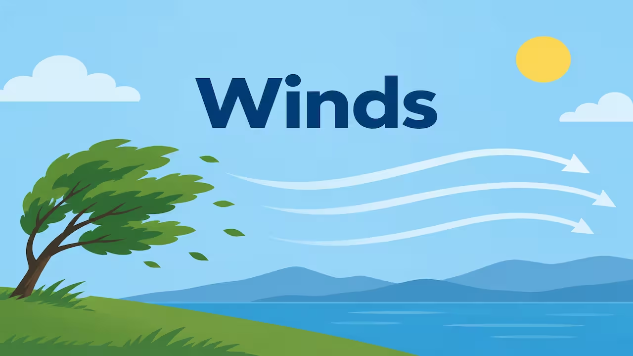
Wind is air moving sideways. That is the whole machine, said without poetry. It moves because the Sun does not heat the Earth evenly. Warm air rises. Cool air sinks. Pressure becomes uneven. Air then tries to run from high pressure to low pressure.
If the planet did not spin, that run would be a straight line. The planet does spin. The path bends. Mountains stand in the way. Friction near the ground slows the flow. The result is not one wind. It is a family: planetary belts that last all year, seasonal monsoons, daily sea breezes, and angry local names like loo and chinook.
I treat this chapter as plumbing plus a spinning table. Pressure is the pump. Coriolis is the table. The names are only where the water comes out.
What makes wind blow
Pressure gradient force (PGF)
Air is pushed from high pressure toward low pressure. The closer the isobars, the stronger the push. On a weather map, packed lines mean a hard blow.
Coriolis force
Because Earth rotates, moving air appears to turn — to the right in the Northern Hemisphere, to the left in the Southern Hemisphere. Coriolis is zero at the equator and strongest at the poles. It does not start the wind. It only steers it.
Friction
Near the ground, trees, hills and cities drag the air. Wind is slower and crosses isobars a little toward low pressure. A kilometre or two up, friction fades. Wind can then blow almost parallel to isobars.
Geostrophic wind
High up, when PGF and Coriolis balance, wind runs along the isobars. That is the clean textbook wind of the free atmosphere.
Buys Ballot’s law
In the Northern Hemisphere, if you stand with your back to the wind, low pressure is on your left. In the Southern Hemisphere, low pressure is on your right. Old sailors used this before apps.
Wind is named for where it comes from. A westerly comes from the west. A sea breeze comes from the sea.
Speed is measured by anemometer, often in knots or metres per second. The Beaufort scale still describes what the sea and trees are doing, from calm to hurricane.
The global engine in one picture
Hot air rises near the equator. That leaves a belt of low pressure — the doldrums or ITCZ (Inter Tropical Convergence Zone). Air aloft spreads poleward, cools, and sinks around 30° north and south — the subtropical highs or horse latitudes. From those highs, air returns to the equator as trade winds, and also flows toward 60° as part of the mid-latitude story.
Near 60°, warm westerlies meet cold polar air. That fight is the polar front. Air rises there. Some returns poleward and sinks over the poles as polar highs. From the poles, polar easterlies spill out.
Three cells in each hemisphere, in the school model:
- Hadley cell — equator to ~30°
- Ferrel cell — ~30° to ~60°
- Polar cell — ~60° to the pole
The real atmosphere is messier. The cells shift with the seasons. Land breaks the symmetry. Still, this model explains why Chennai and London do not share the same prevailing wind.
Planetary or prevailing winds
These are the large, lasting belts.
Trade winds
They blow from the subtropical highs toward the ITCZ.
- Northern Hemisphere: North-East trades
- Southern Hemisphere: South-East trades
They are steady over the open ocean. They helped sailing ships, and they still steer tropical weather. Where they meet, air rises and rain is frequent — the equatorial wet belt.
They are called trades from an older sense of “steady path,” not only from commerce.
Memory: Trades walk toward the equator, and Coriolis slants them east-to-west, so they arrive from the east.
Westerlies
They blow from the subtropical highs toward the polar front, in the middle latitudes (roughly 30°–60°).
- Northern Hemisphere: South-Westerlies (coming from the south-west)
- Southern Hemisphere: North-Westerlies
The Southern Hemisphere westerlies are stronger and steadier because there is more ocean and less land to break them. Roaring Forties, Furious Fifties — sailors named those latitudes for a reason.
Much of Europe’s weather rides the westerlies. So does the parade of mid-latitude cyclones.
Memory: Middle latitudes live on west winds.
Polar easterlies
Cold air spills from polar highs toward 60°. It is deflected and arrives as easterlies. They are irregular compared with trades. They shove cold air into the polar front.
Memory: Poles send dry, cold air outward; it comes from the east.
Where the belts sit in a sentence
Equator: rising air, calm or light, rain.
30°: sinking air, dry, deserts on the western sides of continents.
40–60°: travelling lows and highs, changeable weather.
Poles: cold sinking air.
The whole pattern slides north in the northern summer and south in the northern winter, following the Sun.
Periodic winds: they change with time
Monsoon
Monsoon means a seasonal reversal of wind.
In summer, Asia heats strongly. A deep low grows over northwest India and Tibet’s influence aloft. The ITCZ jumps north. Moist air is drawn in from the southern ocean. After crossing the equator, Coriolis turns that flow into the South-West monsoon for India.
In winter, the continent is cold and high pressure builds. Wind blows out as the North-East monsoon. The east coast of Tamil Nadu gets much of its rain from this winter stream and from storms in the Bay of Bengal, not from the June burst.
Do not write “monsoon is just land and sea breeze on a giant scale” as if that were the full modern story. Differential heating of land and sea is the starting idea. Jet streams, the Tibetan plateau, and the moving ITCZ are part of the accepted picture in current answers.
Memory: Summer southwest, wet. Winter northeast, dry for most of India, wet for the southeast coast.
Land and sea breeze (daily)
Day: Land heats faster than sea. Low over land. Wind from sea to land — sea breeze. Afternoon on a coast feels cooler because of this.
Night: Land cools faster. High over land. Wind from land to sea — land breeze. Weaker, often, than the afternoon sea breeze.
This is a local monsoon of one day. Range is tens of kilometres, not a subcontinent.
Mountain and valley winds
Day: Slopes heat. Air creeps up-valley / upslope (anabatic).
Night: Slopes cool. Heavy air drains down-valley (katabatic in the broad school use).
True katabatic winds can also be the fierce downslope flows off ice sheets, as in Antarctica. In GS, “valley breeze by day, mountain breeze by night” is the expected pair.
Local winds worth naming
These are famous because they change life in one region.
Loo
Hot, dry, dusty wind of the north Indian plains in May–June. Comes from the west and northwest, out of heated land. Heatstroke wind. Not a monsoon current; it is pre-monsoon heat.
Chinook
Warm, dry wind down the eastern Rockies. Snow can vanish — “snow eater.” Air descends, compresses, and warms.
Foehn
The European cousin of chinook, down the Alps. Same physics: descent and warming on the lee side.
Mistral
Cold, dry wind down the Rhône valley toward the Mediterranean. Channelled by mountains.
Bora
Cold downslope wind onto the Adriatic.
Sirocco
Hot wind from the Sahara toward the Mediterranean; can carry dust and feel humid after crossing the sea.
Harmattan
Dry, dusty northeasterly over West Africa in the dry season.
Brickfielder
Hot, dusty wind in parts of southern Australia.
Berg wind
Warm off the plateau toward the South African coast.
Memory pair:
Chinook and foehn = warm downslope.
Mistral and bora = cold downslope.
Loo = Indian summer oven.
Variable winds: cyclones and anticyclones
Cyclone (low pressure)
Air spirals inward. In the Northern Hemisphere the spiral is anticlockwise. Cloud and rain are common because air rises in the centre.
Two exam families:
- Tropical cyclone — warm core, over warm seas, no fronts, eye in a mature storm. Called cyclone in the Indian Ocean, hurricane in the Atlantic, typhoon in the west Pacific.
- Temperate / extra-tropical cyclone — fronts, polar front origin, family of lows along the westerlies.
Anticyclone (high pressure)
Air spirals outward. Northern Hemisphere clockwise. Air sinks. Skies often clear. Winter anticyclones can bring fog and cold; summer ones can bring heat.
Do not mix the spiral: low = inward and up; high = outward and down.
Jet streams
These are fast rivers of air in the upper troposphere, generally west to east, a few hundred kilometres wide and some kilometres thick. Speeds of 100–300 km/h are common; stronger in winter.
Two that matter in Indian answers:
- Subtropical jet — over the subtropical high, high up.
- Polar front jet — along the polar front, wavier, linked to storms.
In winter a westerly jet sits over north India. In summer it shifts, and an easterly jet appears over peninsular India in the upper air — part of the monsoon story in many textbooks.
Jets do not blow on your balcony. They steer the weather that does.
Memory: Jets are the highway. Surface winds are the local roads.
How wind, rain and deserts fit together
Sinking air at 30° dries the western sides of continents: Sahara, Arabia, west Australia, Atacama (Atacama also has cold current and rain-shadow help).
Rising air at the equator and along monsoon troughs makes rain forests and monsoon belts.
Onshore westerlies keep western Europe moist. Offshore trades keep some tropical west coasts drier.
A mountain standing across a moist wind makes a rain shadow. The windward slope gets cloud and rain. The leeward slope gets descending, drying air — foehn logic.
Measuring and describing without bluff
Direction: from which it blows, in degrees or 16-point compass.
Speed: anemometer; reports in knots in aviation and marine use (1 knot = 1 nautical mile per hour ≈ 1.85 km/h).
Force: Beaufort 0 is calm; 12 is hurricane force.
Isobars close = strong PGF = strong wind, if nothing else blocks it.
How I keep the types in one page
Three drawers.
Drawer 1 — always there: trades, westerlies, polar easterlies.
Drawer 2 — clock and calendar: monsoon, sea-land, mountain-valley.
Drawer 3 — place names: loo, chinook, foehn, mistral.
Plus two extras: cyclone/anticyclone, jet stream.
One rhyme:
Trades to the heat,
Westerlies in the middle seat,
Easterlies from the ice.
Monsoon turns twice.
Sea by day, land by night.
Jets fly out of sight.
Common mistakes
Writing that wind blows from low to high. It blows from high to low.
Forgetting the hemisphere when giving cyclone spin.
Calling loo a monsoon wind.
Saying jet streams are surface winds.
Putting westerlies in the tropics.
Writing that Coriolis “makes” wind. It only bends it.
Giving exact ITCZ latitudes as if they never move. They follow the Sun.
How to write it in the exam
2 marks: Wind is horizontal movement of air from high to low pressure; types include planetary, periodic and local.
5 marks: Explain PGF and Coriolis. Name trades, westerlies, polar easterlies with directions.
10–15 marks: Global belts + monsoon mechanism + one local wind + jet stream in one paragraph. A simple Hadley-cell sketch helps.
For India-specific papers, monsoon and loo are not optional.
Conclusion
Wind is air chasing a pressure gap on a spinning Earth. The gap starts with the Sun. The spin slants the path. Land and hills then give the path a local name.
Trades, westerlies and polar easterlies are the standing furniture. Monsoon is the seasonal door. Sea breeze is the daily window. Loo and chinook are the neighbours shouting.
If you can say from where a wind comes, why the pressure sits there, and which force bent it, you understand the topic. The list of names is only the index.
FAQs
Q1. What is wind?
A: It is the horizontal movement of air, mainly from high pressure to low pressure, shaped by Earth’s rotation and by friction near the ground.
Q2. What are the main types of winds?
A: Planetary winds (trades, westerlies, polar easterlies), periodic winds (monsoon, land-sea breeze, mountain-valley winds), local winds (loo, chinook, foehn and others), and variable systems (cyclones and anticyclones). Jet streams are fast upper-air winds.
Q3. Why do trade winds blow from the east?
A: Air flows from subtropical highs toward the equator. Coriolis deflects that flow, so the wind arrives as a northeasterly in the Northern Hemisphere and a southeasterly in the Southern Hemisphere.
Q4. What is the difference between sea breeze and monsoon?
A: Sea breeze reverses between day and night along a coast. Monsoon reverses between seasons across a large region, and its causes include land-sea heating, the ITCZ shift and upper-air jets.
Q5. How are cyclonic winds different in the two hemispheres?
A: In a low-pressure cyclone, winds spiral inward anticlockwise in the Northern Hemisphere and clockwise in the Southern Hemisphere.